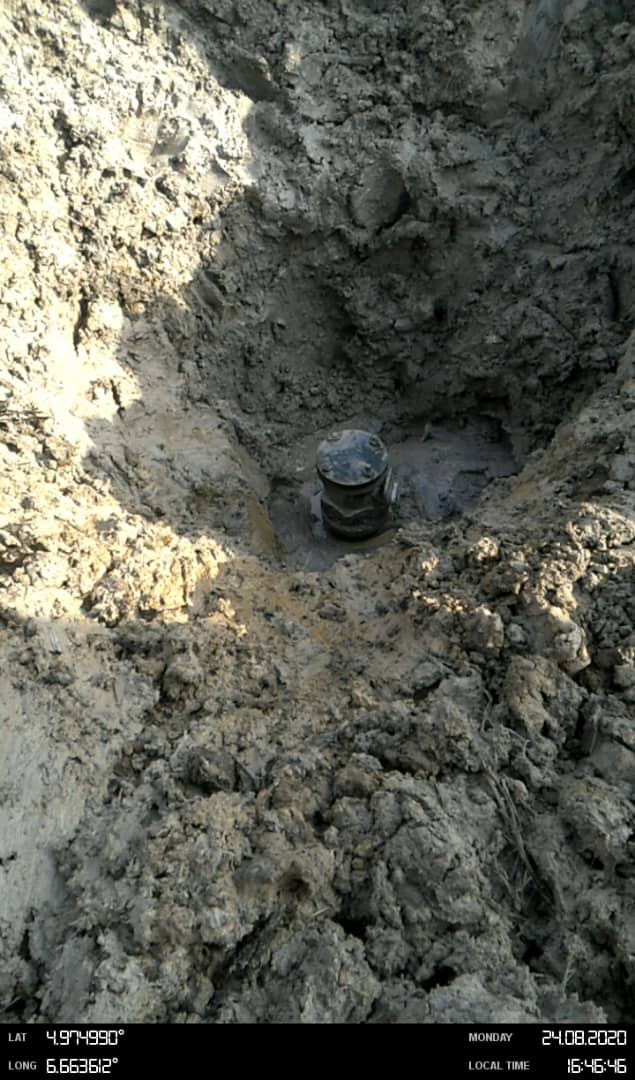
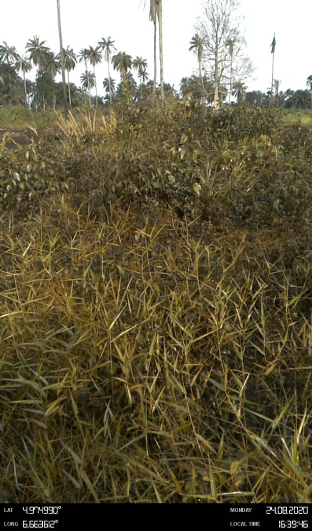
Evidence for Oil Spill at 20" KOLO CREEK - RUMUEKPE TRUNKLINE RIGHT OF WAY, IHUOWO, AHAODA EAST LOCAL GOVERNMENT AREA, RIVERS STATE – SPDC, 2020 · SpillFlare
Files listed in the NOSDRA source record for 20" KOLO CREEK - RUMUEKPE TRUNKLINE RIGHT OF WAY, IHUOWO, AHAODA EAST LOCAL GOVERNMENT AREA, RIVERS STATE.
These files are hosted by the source website. Captions are reproduced as supplied, and attachment availability can change independently of this product.